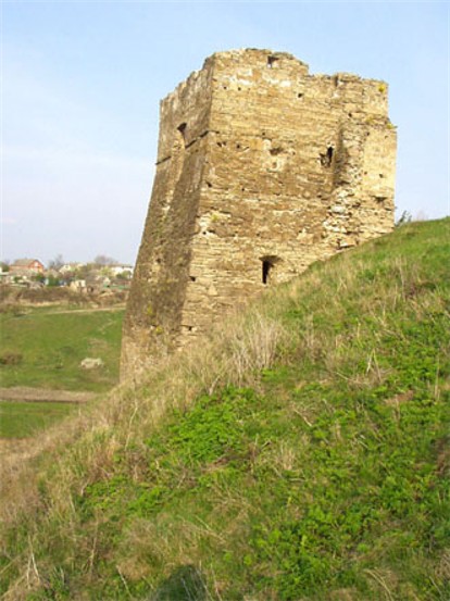
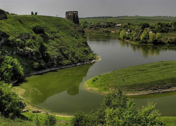
Zhvanets
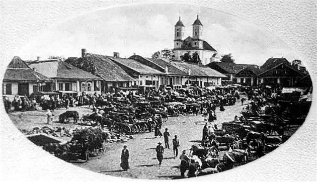
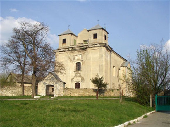
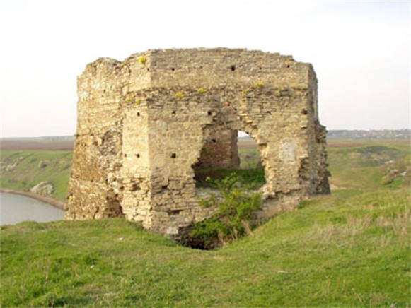
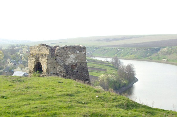
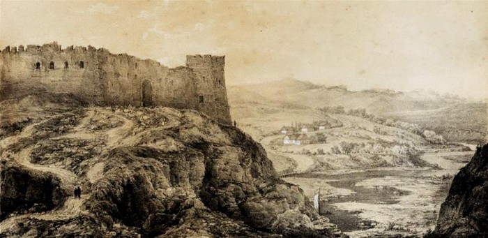
Zhvanets [Žvanec’]. Map: V-7. A village (2001 pop 1,529) near the junction of the Zhvanchyk River and the Dnister River in Kamianets-Podilskyi raion, Khmelnytskyi oblast. It is first mentioned in a historical document in 1431. At the end of the 16th century the Poles built a castle there, which was destroyed by the Turks in 1620. It was rebuilt, and by 1646 the town had obtained the rights of Magdeburg law. In 1653 Bohdan Khmelnytsky laid siege to Jan II Casimir Vasa in the castle and was betrayed by his Tatar ally. In 1672–99 the town was occupied by the Turks, and subsequently it declined to a village. In 1793 it was annexed by Russia. Today the ruins of the 16th-century fortress and a 17th-century Armenian church testify to Zhvanets's historical importance. The Zhvanets fortified settlement dating from 3rd millenium BC is located near Zhvanets.
[This article originally appeared in the Encyclopedia of Ukraine, vol. 5 (1993).]
.jpg)
