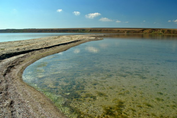
Tylihul Estuary
Tylihul Estuary [Тилігульський лиман; Tylihul's'kyj lyman]. Map: lake at the mouth of the Tylihul River on the Black Sea coast along the border of Odesa oblast and Mykolaiv oblast. The estuary is 80 km long, generally about 3.5 km wide (as narrow as 0.2 km in places), and 3 m deep (up to 21 m maximum). Its area fluctuates between 150 and 170 sq km. It is fed by the Tylihul River and by seawater which seeps through the 4 km of sand deposits at its mouth. The estuary has a salinity of up to 13 percent and contains a layer of black mire with medicinal qualities along its bottom. It is also fished.
[This article originally appeared in the Encyclopedia of Ukraine, vol. 5 (1993).]

.jpg)