Skala-Podilska
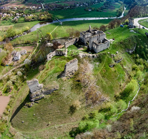
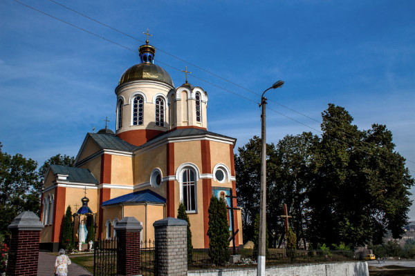
Skala-Podilska [Скала-Подільська; Skala-Podil’s’ka]. Map: V-7. A town smt (2012 pop 4,258) on the Zbruch River in Borshchiv raion, Ternopil oblast. Until 1940 it was known as Skala or Skala-nad-Zbruchem (Skala-on-the Zbruch). It is first mentioned in historical documents in the early 14th century. In 1518 it was granted the rights of Magdeburg law, and in 1538 S. Lanckoroński built a fortress to defend the town from the Tatars and Turks. Nevertheless they destroyed the fortress and town in 1539 and 1615. In 1648, during the Cossack-Polish War, Maksym Kryvonis captured Skala, but the Poles soon recovered it. The town declined under Turkish rule (1672–99). In the 18th century the Poles tried to Polonize it, and in 1719 they built a Roman Catholic church there. In 1770 half the population perished from the plague. The town prospered under Austrian rule (1772–1918). In the interwar period it was under the rule of Poland. Today it has an asphalt, a fruit-canning, and a food-processing plant. Its monuments include the ruins of a castle, a baroque palace, a Roman Catholic church (1719), and one of Ukraine’s finest parks (34 ha).
[This article originally appeared in the Encyclopedia of Ukraine, vol. 4 (1993).]
.jpg)

.jpg)
.jpg)
