Mezhyrich archeological site
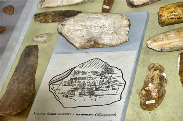
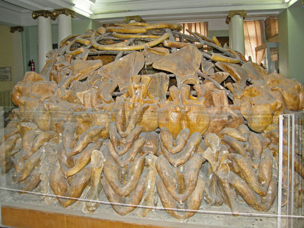
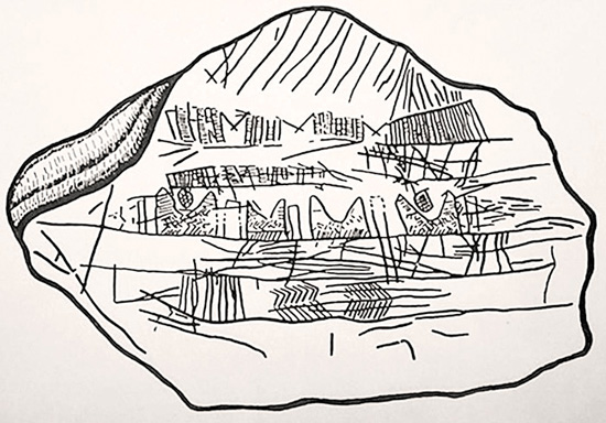
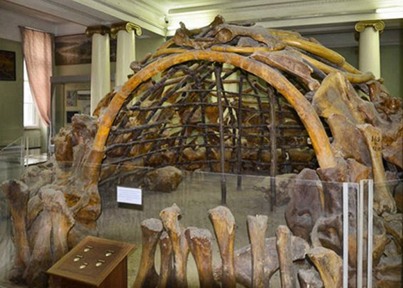
Mezhyrich archeological site [Межиріцька стоянка; Mezhyritska stoianka]. See Map. An Upper Paleolithic site situated on the promontory between the Ros River and Rosava River near the village of Mezhyrich, Kaniv raion, Cherkasy oblast. The site dates back to the Magdalenian culture and is estimated to be 14,500 years old. It was accidentally discovered in 1965 and was first excavated by Ivan Pidoplichko of the Institute of Zoology of the Academy of Sciences of the Ukrainian SSR in 1966–74. Other excavations took place in 1976–83, 1989, 1989–98 (by a joint Ukrainian-American team), 2002–8 (by a joint Ukrainian-French team), and 2009– (under the direction of Pavlo Shydlovsky). The depth of the excavated strata is 2.5 to 4 m and the area of the excavations is approximately 2,500 sq m. The Mezhyrich site was a winter settlement of Paleolithic hunters. Remains of four large (the largest ca 8 m in diameter) mammoth-bone dwellings were uncovered at the site, one of them with a unique fence made of mammoth bones. Storage pits, fire pits, and flint and bone tools were also found. A unique artefact found at the Mezhyrich site is a schematic map of the area carved out on a fragment of a mammoth tusk. It is the oldest map ever to be found on the territory of Ukraine. Some of the dwellings found at the site are preserved in the National Museum of Natural History of the National Academy of Sciences of Ukraine and at the American Museum of Natural History in New York. Plans to establish a small museum for one of the dwellings in Mezhyrich itself have not so far been realized.
Marko Robert Stech
[This article was written in 2020.]


