Donets-Donbas Canal
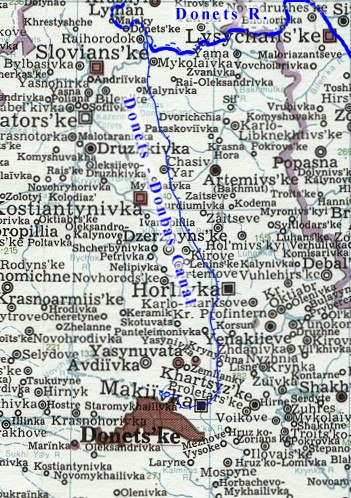
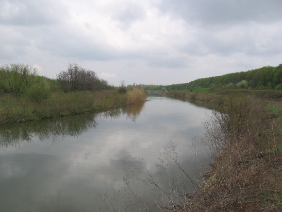
Donets-Donbas Canal (officially known as the Siverskyi Donets-Donbas Canal; Канал Сіверський Донець–Донбас; Kanal Siverskyi Donets–Donbas]. Canal built in 1954–8 in the Donetsk oblast. It extends from the Donets River near the village of Raihorodok to the city of Donetsk. Its length is 131.6 km; bottom width, 1.5–3.0 m; and depth, 3.5–4.8 m. From the Donets to Donetsk the water’s elevation is raised 248 m. The flow capacity is 25 cu m/sec. Among the canal's hydrotechnological projects is a series of reservoirs, four pumping stations, and seven filtration stations. The canal is an important source of water for industry and the population of the Donbas.
[This article originally appeared in the Encyclopedia of Ukraine, vol. 1 (1984).]


.jpg)
