Horodenka
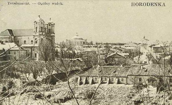
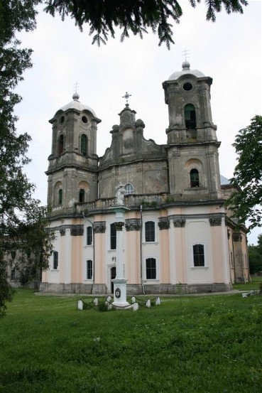
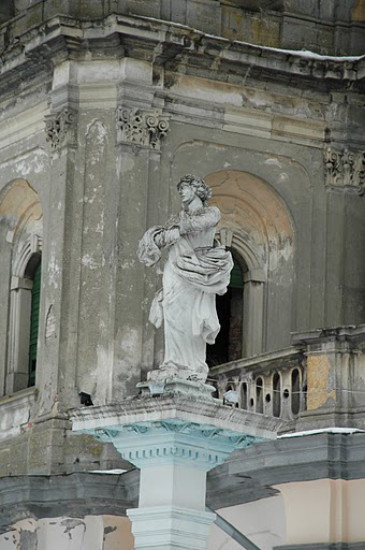
Horodenka [Городенка]. Map: V-6. City (2011 pop 12,428) and raion center in Ivano-Frankivsk oblast. This Pokutia town was first mentioned in late 12th-century chronicles under the year 1195 when it was part of the Halych principality. Later it belonged to the Principality of Galicia-Volhynia. By the 15th century, under Polish rule, it was a trade center with a sizable colony of Armenian merchants. In 1668 it was granted the rights of Magdeburg law. In 1743 Jews were allowed to settle in Horodenka and by 1900 they constituted 36 percent of the town’s population, with Ukrainians constituting the majority of residents. Under Austrian (1772–1918) and Polish (1919–39) rule it was a county town. Horodenka suffered great devastation during the Second World War and almost all of its Jewish residents perished during the Holocaust. Today Horodenka’s largest plants are a sugar refinery and a liquor distillery. The city’s main architectural monuments are the Armenian church (1706), the Immaculate Conception Church (1743–69) designed by Bernard Meretyn and decorated with sculptures and paintings by Johann Georg Pinzel (unfortunately the church’s interior, including virtually all of Pinzel’s sculptures were destroyed during Soviet times), and the Church of the Assumption (1763).
[This article was updated in 2016.]

.jpg)
.jpg)
.jpg)
.jpg)


.jpg)