Chornohora
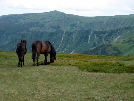
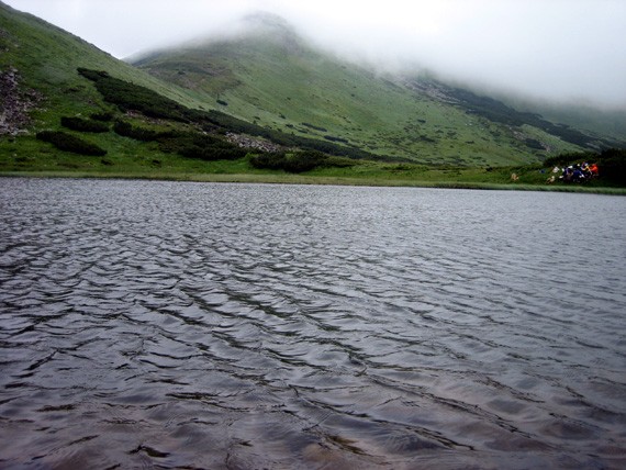
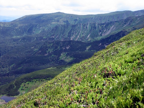
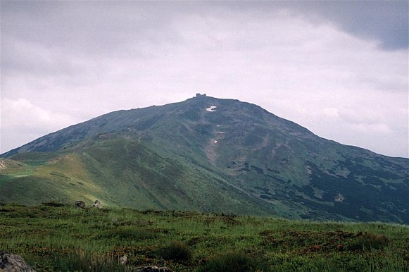
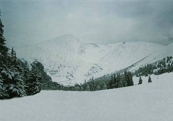
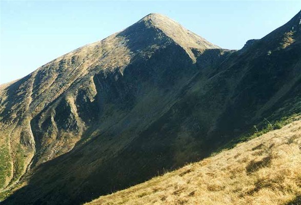
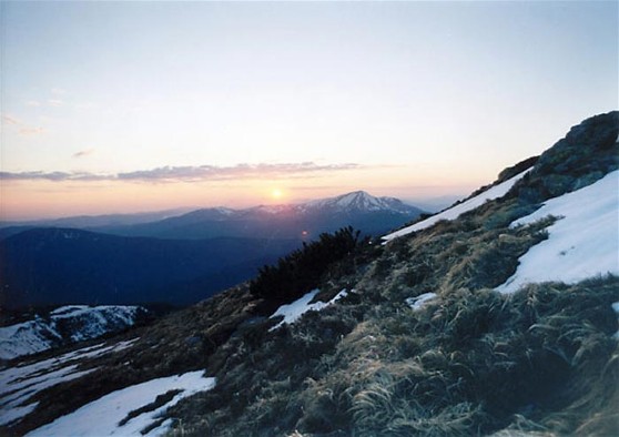
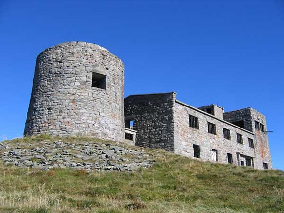
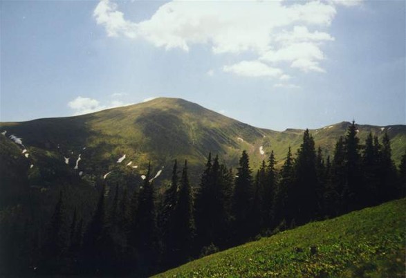
Chornohora [Чорногора]. The highest mountain group in the Ukrainian Carpathian Mountains, the eastern part of the Polonynian Beskyd. Its main range extends for about 40 km from the Chorna Tysa River in the west to the Chornyi Cheremosh River in the east. Chornohora is built of hard sandstone with strata of low-resistance schist. The major part of Chornohora forms the watershed between the Prut River and the Tysa River. For many centuries this was also the boundary of the states to which Galicia and Transcarpathia belonged. The western part of Chornohora, containing the Petros Peak (2,020 m), lies in Transcarpathia in the basin of the Tysa. The two parts of Chornohora are separated by a deep pass (alt 1,550 m). The western part of Chornohora is heavily gouged (the relative height of Petros is 300 m). The eastern part is a massive, monotonous range with peaks over 1,900 m high—Hoverlia, 2,061 m; Shpytsi, 1,997 m; Tomnatyk, 2,018 m; Pip Ivan 2,026 m—and a minimum elevation of 1,750 m. Short ranges branch off from the main range. The slopes of Chornohora, which are dissected by narrow valleys 1,000 m or more in width, contrast with the almost level ranges, which are the remains of former peneplains. The landscape of Chornohora has been affected by glaciers more than has that of other parts of the Ukrainian Carpathians. In the Ice Age the boundary of permanent snow lay at an elevation of 1,300–1,400 m, and short glaciers formed at the sources of streams. In the Prut River Valley the glacier reached an elevation of 1,000 m and was 6.5 km long. Postglacial depressions, with steep, often rocky slopes and broad bottoms sometimes covered with lakes (mostly under Tomnatyk) or peat bogs, the uneven slope of the valleys with occasional waterfalls (on the Prut River, for example), and lateral and terminal moraines are some of the effects of former glaciation.
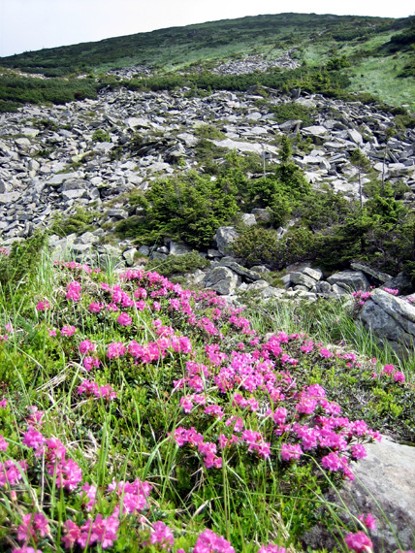
The slopes of Chornohora are covered with forests, which occupy 70 percent of the surface. Beech trees are found on the northern slopes in the lower forest belt up to 1,300 m, and spruce trees appear higher up (even up to 1,600 m). Beech are also common on the southern slopes and they constitute the upper boundary of the forests. Above the forest belt, up to 1,800 m, lies a belt of alder and juniper brush, and above it a belt of clear mountain meadow that reaches the peaks or ends sometimes at stone fields. There are many endemic species of flora.
The local population consists of the Hutsul ethnographic group, which inhabits the lowest parts of Chornohora: in Transcarpathia Yasinia lies in the Chorna Tysa River Valley and the town of Bohdan in the Bila Tysa River Valley; in the north there are only the villages of Bystrytsia and Dzembronia. Arable land covers scarcely 0.5 percent of the surface area; forests, 70 percent; hayfields, 5 percent; meadows and pastures, 22 percent. To protect the soil and the villages from floods, small reservoirs were built after the First World War. In 1964 a preserve of 7,702 ha was created in the region as part of the Carpathian Nature Reserve. Today Chornohora’s ecosystem is protected within the Carpathian Biosphere Reserve and Carpathian National Nature Park.
Herding is an important occupation in Chornohora, where the pasturing season lasts for five months. The main industry of the Ukrainian Carpathian Mountains is tourism. Its centers include Rakhiv, Yasinia, Vorokhta, Bystrets, and Verkhovyna (formerly Zhabie).
Volodymyr Kubijovyč
[This article was updated in 2008.]

.jpg)
.jpg)
.jpg)
.jpg)
.jpg)
.jpg)
.jpg)
.jpg)
