Tysa River
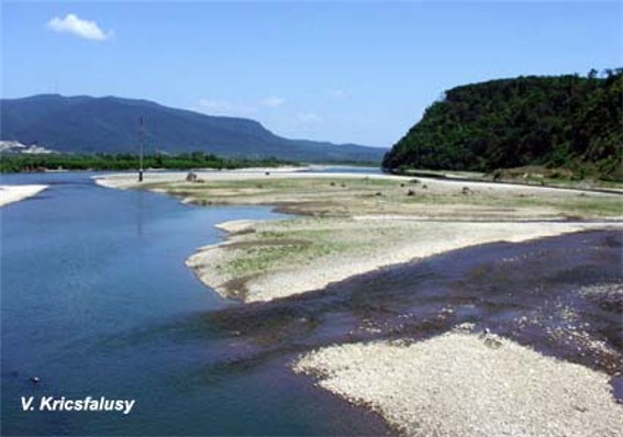
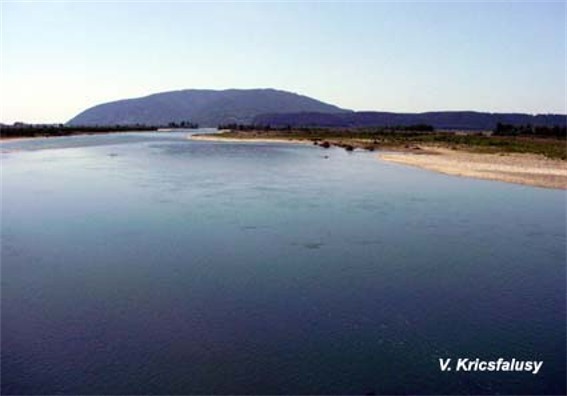
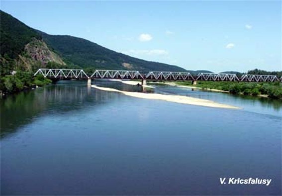
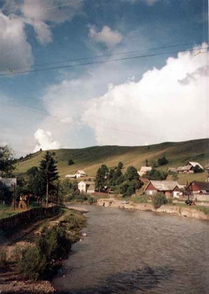
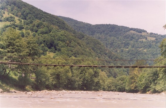
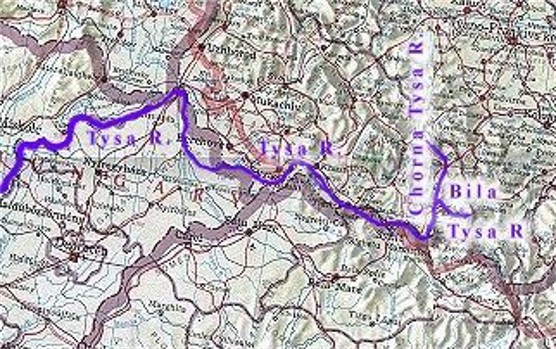
Tysa River (Тиса; Hungarian: Tisza). (Map: Tysa River.) The largest left-bank tributary of the Danube River. It flows for 966 km through Ukraine (233 km) and Hungary and drains a basin area of 157,100 sq km (over 15,000 sq km of which is in Transcarpathia and 3,000 in the Prešov region). The Tysa is formed by the confluence of the Bila (White) Tysa and the Chorna (Black) Tysa, near Rakhiv. It has a typical mountain character in its upper reaches, with a drop of 4.5 m/km and a velocity of 3 m/sec. It widens out to 50–100 m, drops at 1.8 m/km, and moves at 2 m/sec or less as it flows through the Maramureş Basin. It then flows through the Volcanic Ukrainian Carpathians and eventually ends up in flatter terrain. The Tysa forms part of the border between Ukraine and both Romania and Hungary. Rock salt, petroleum, and natural gas can be found in its basin. The Prytysianskyi Regional Landscape Park is located along the Tysa in Berehove and Vynohradiv raions of Transcarpathia oblast.
[This article originally appeared in the Encyclopedia of Ukraine, vol. 5 (1993).]
.jpg)
.jpg)