Tahanrih Bay
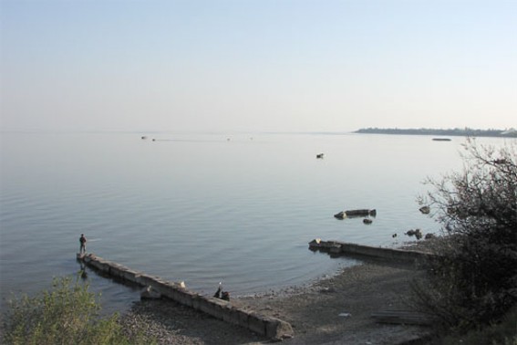
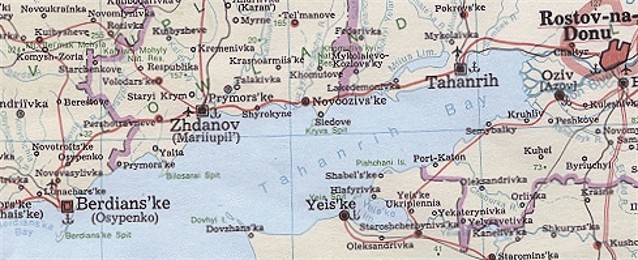
Tahanrih Bay [Таганрізька затока; Tahanriz'ka zatoka]. (Map: Tahanrih Bay). The largest bay in the Sea of Azov. Situated in the sea's northeast corner with an entrance marked by Dovhyi Island and the Bilosarai Spit, the bay is approx 150 km long, 31 km wide (at its entrance), and 5 m deep. Its shore is generally quite high and is marked by a number of spits (such as Kryva Spit and Yeia Spit), shallow inlets, and coastal islands. The Don River, the Kalmiius River, the Miius River, and the Yeia River empty into the bay and add several estuaries to its geographical features. The bay freezes from December to March. The largest ports on it include Tahanrih, Mariupol, and Yeisk.
[This article originally appeared in the Encyclopedia of Ukraine, vol. 5 (1993).]


