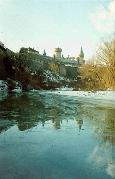
Smotrych River
Smotrych River [Smotryč]. (Map: Smotrych River.) A left-bank tributary of the Dnister River that flows southward for 168 km through Khmelnytskyi oblast and drains a basin area of 1,800 sq km. With a width of 10–15 m (40 m at its widest point), the river is particularly notable for its tall banks, which give it a ravinelike appearance. It is used for water supply, irrigation, and fishing. A small hydroelectric station is situated on it, as well as the city of Kamianets-Podilskyi and the town of Horodok (Khmelnytskyi oblast).
[This article originally appeared in the Encyclopedia of Ukraine, vol. 4 (1993).]

.jpg)
