Roztochia
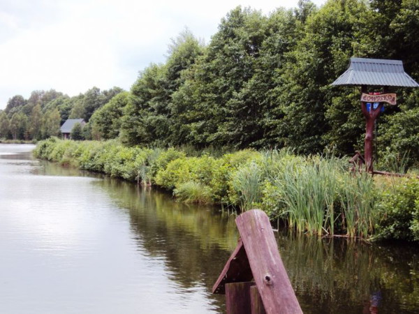
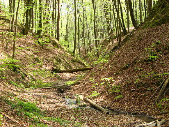
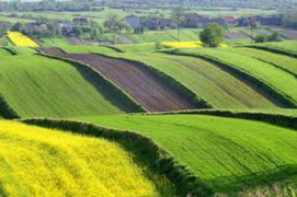
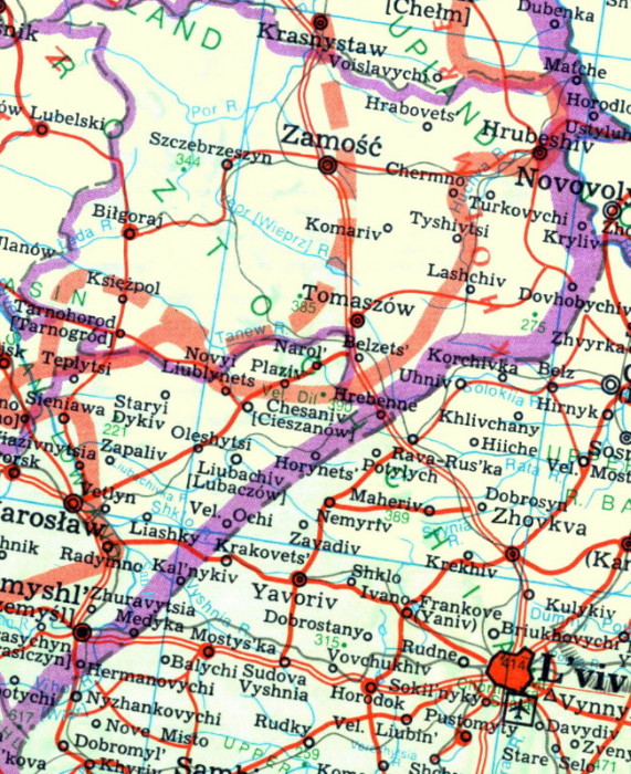
Roztochia [Розточчя; Roztoččja; Polish: Roztocze]. (Map: Roztochia.) A plateau that runs in a band northwest of Lviv between the Sian Lowland and the Buh Depression. It is approximately 15–20 km in width and up to 400 m in height. An anticline composed largely of chalk, it constitutes a continuation of the Opilia Upland. The rivers of the region flow into the Sian River (the Shklo River, the Liubachivka River, the Tanew River) or the Buh River (the Rata River, the Solokiia River, the Huchva River) systems. The following nature preserves have been established in Roztochia within the borders of Ukraine: the Yavoriv National Nature Park, Roztochia Nature Reserve, Rava Ruska Roztochia Regional Landscape Park, and Zavadiv and Hriada wildlife refuges. The region's major centers include Zhovkva, Rava Ruska, Belz, Uhniv, and Tomaszów Lubelski.
[This article was updated in 2013.]
 Ukrainian church.jpg)
