Opilia Upland
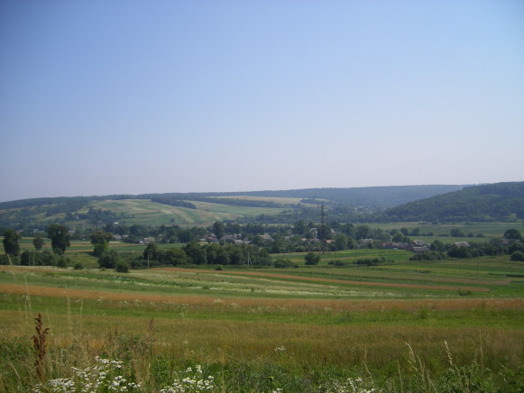
Opilia Upland [Опілля; Opillja]. The western portion of the Podolian Upland. Located to the west of the Upper Zolota Lypa River, Opilia has a general elevation of 350–400 m and a maximum elevation of 470 m. In contrast to that of Podilia in general, the landscape is smooth and gentle and notable for its underlying soft chalky rock. A number of left-bank tributaries of the Dnister River, among them the Zubra River, the Svirzh River, and the Hnyla Lypa River, run through Opilia. Their watersheds are cut by secondary valleys which provide the region with a hilly terrain. The slopes of the hills are covered with forests (generally beech, oak, and elm), and the watersheds with fields and meadows. Some of the larger towns in Opilia are Berezhany, Rohatyn, and Pidhaitsi.
[This article originally appeared in the Encyclopedia of Ukraine, vol. 3 (1993).]


.jpg)
.jpg)
.jpg)