Maramureş-Bukovynian Upland
Maramureş-Bukovynian Upland (also Maramureş-Bukovynian Massif, Maramureş Massif, Rakhiv-Chyvchyn Massif). A crystalline massif in the southeastern part of the Ukrainian Carpathian Mountains. The upland stretches beside the Polonynian Beskyd and the East Bukovynian Beskyd from the Chorna Tysa River valley in the northwest, southeast to the headwaters of the Vişeu (Vyshava) and the Bistriţa Aurie (Zolota Bystrytsia) rivers near Prislop Pass, in northern Romania. (See map: Carpathian Mountains, Division.) The orographic foundation of the upland is a ridge 100 km long, which is the watershed between the Tysa River on one side and the Prut River and the Seret (Siret) River on the other.
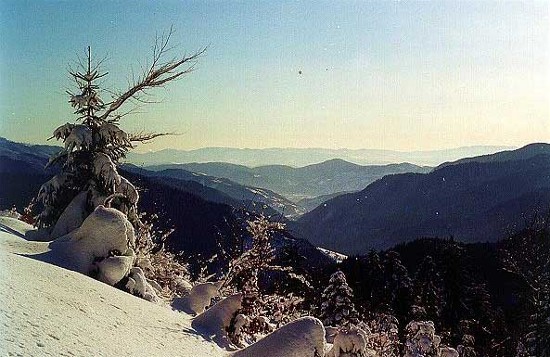
The core of the anticlinal zone consists of metamorphosed crystalline rocks—gneiss, crystalline schist, and marbleized limestone. The sedimentary rocks that formerly covered the crystalline core, consisting of Triassic and Jurassic formations (limestones, sandstones, porphyrites, and conglomerates) as well as Cretaceous and Paleogene layers, were partly destroyed by erosion. Because of its varied geological composition, significant absolute (average ridge height, 1,600–1,900 m) and relative (approx 1,000 m) elevation, and glacial formations, the Maramureş-Bukovynian upland is more picturesque than other parts of the Ukrainian Carpathians. That is particularly true of the Hutsul Alps, in the western reaches of the upland, and the Chyvchyn Mountains, near its center. Further to the southeast the Bukovynian part of the upland, consisting of crystalline schist formations, is considerably lower in elevation. Only occasionally do peaks of hard limestone or conglomerates rise above the nearly even ridges.
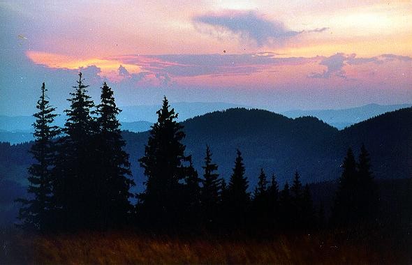
The upland is covered with forests of fir and of beech (in the southwest), which often grow at elevations of 1,500 m, and in places of 1,600 m. At higher elevations there are alpine meadows, although the Hutsul Alps have rocky outcroppings not fit for cultivation. Junipers are found in the eastern part of the upland. The ridges of the middle portion of the upland are covered throughout by alpine meadows, which make up the largest such area in all the Ukrainian Carpathians. Barely 5 percent of the upland is inhabited; the population consists of Ukrainians (see Hutsuls) and (in the southwest) Romanians. Foresting and pasturing provide a significant influx of inhabitants on a seasonal basis.
Volodymyr Kubijovyč
[This article originally appeared in the Encyclopedia of Ukraine, vol. 3 (1993).]
.jpg)
.jpg)
.jpg)

.jpg)

.jpg)
.jpg)
.jpg)
.jpg)
.jpg)