a { text-decoration: none !important; text-align: right; } Hurzuf, Internet Encyclopedia of Ukraine, Інтернетова Енциклопедія України (ІЕУ), Ukraine, Ukraina, Україна"> Hurzuf

Hurzuf

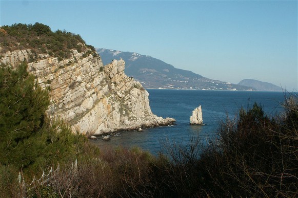
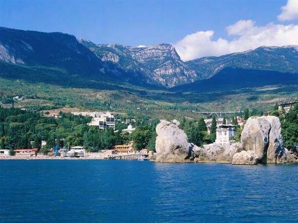
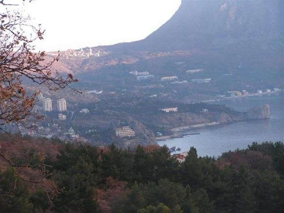
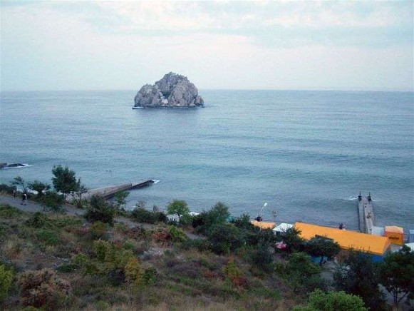
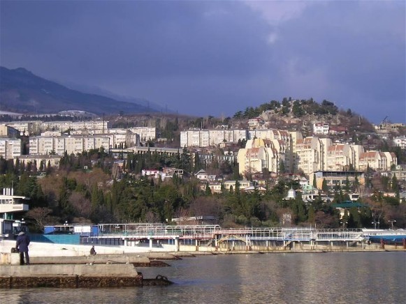
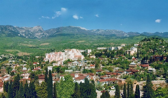
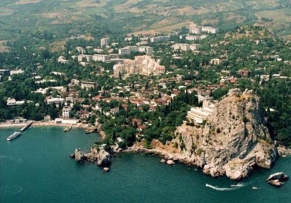
Image - Hurzuf in the Crimea. Image - The Black Sea shore near Hurzuf.
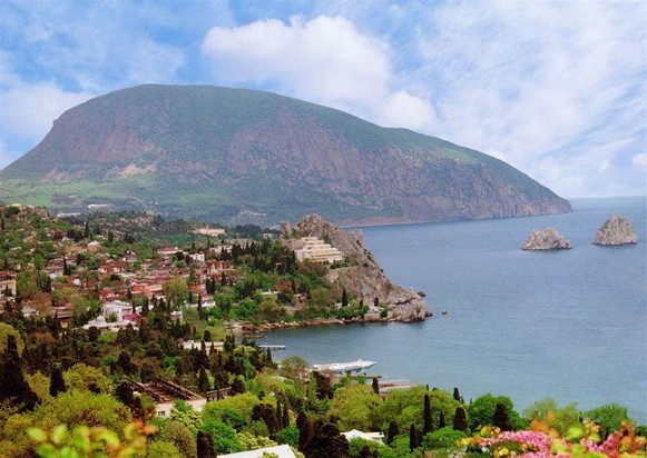
Image - The Black Sea shore near Hurzuf with a view of Mount Aiu-Dag.

Hurzuf. Map: IX-15. Town smt (2001 pop 9,150) located 16 km from Yalta on the southeast coast of the Crimea (see Crimean southern shore) and administered by the Yalta municipal council. Protected from the north and northeast by the Hurzuf Yaila Plateau, the town is a popular health and tourist resort and a grape-growing center. It was originally a Tatar village. A Byzantine fortress was built there in the 6th century; it was rebuilt in the 14th century by the Genoese (they called their colony Grasui and Gorzanium). The ruins of the fortress, a palace, and park have been preserved.

[This article originally appeared in the Encyclopedia of Ukraine, vol. 2 (1989).]


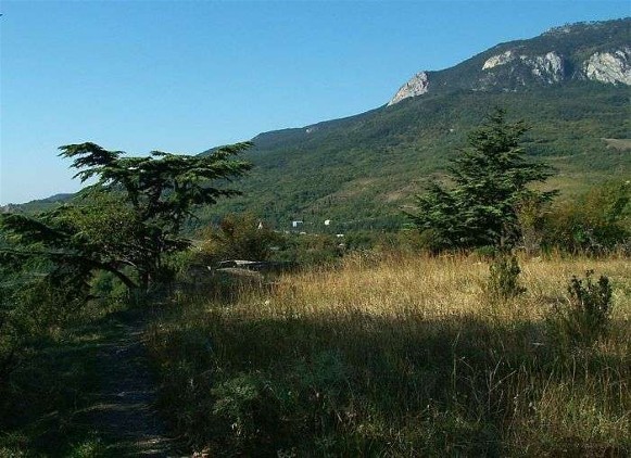
Image - The Crimean Mountains landscape near Hurzuf. Image - The Crimean Mountains near Hurzuf. Image - Ivan Aivazovsky: Hurzuf (1859). Image - Mykola Hlushchenko: The Old Hurzuf (1973). Image - Hurzuf and Mount Aiu-Dag in the Crimea. Image - Hurzuf in the Crimea. Image - The Black Sea near Hurzuf. Image - Hurzuf in the Crimea. Image - Hurzuf in the Crimea. Image - Hurzuf in the Crimea. Image - Hurzuf in the Crimea.


List of related links from Encyclopedia of Ukraine pointing to Hurzuf entry:


A referral to this page is found in 5 entries.