Crimean southern shore
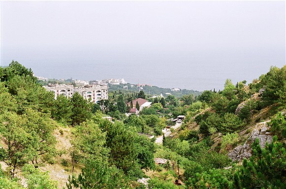
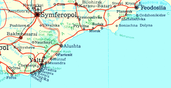
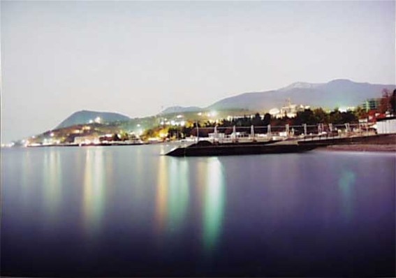
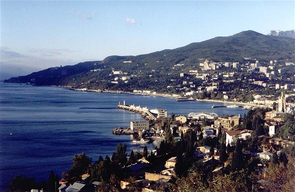
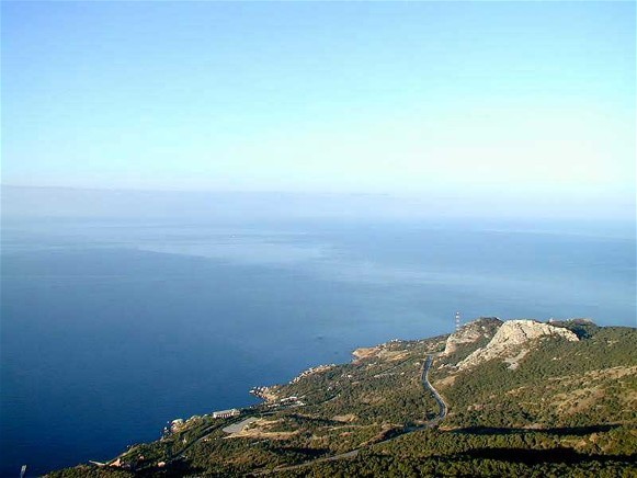
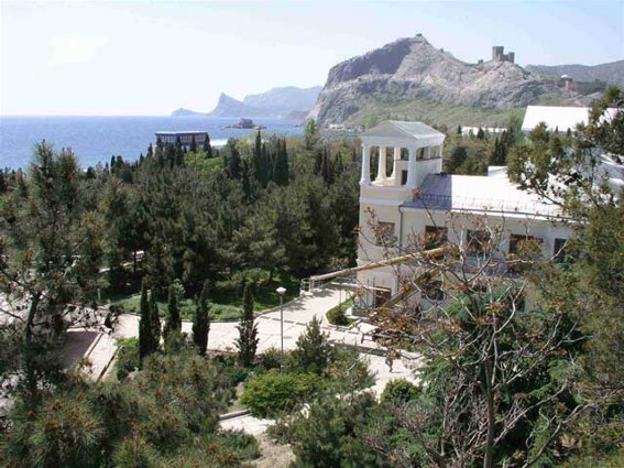
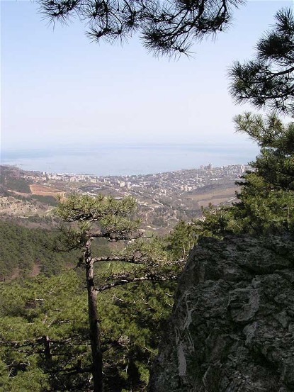
Crimean southern shore [Південне узбережжя Криму; Pivdenne uzberezhzhia Krymu; also known as the Crimean Riviera]. Narrow (2–12 km) strip of land in the southern Crimea lying between the slope of the Crimean Mountains and the Black Sea. It stretches for about 150 km from Foros eastward to Kara-Dag, covering an area of about 600 sq km. Sheltered from north winds, the shore has a Mediterranean climate and flora. Its agriculture is subtropical. Because of its natural beauty and healthy climate, this area is heavily populated and famous for its health resorts and tourism.
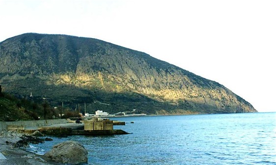
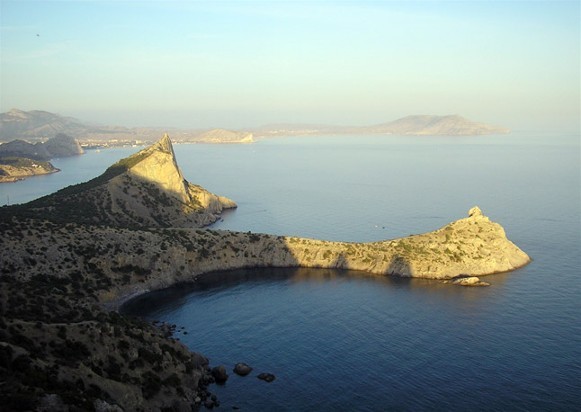
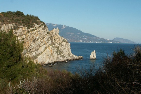
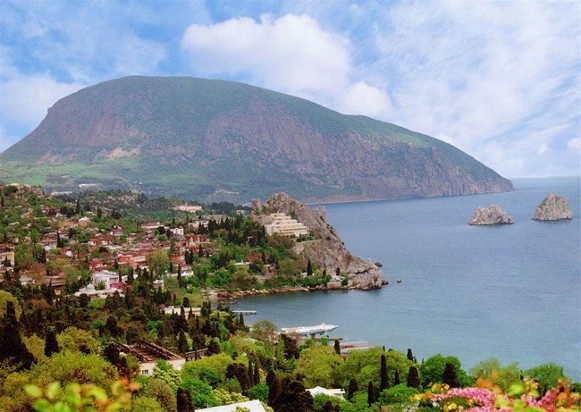
The relief of the shore consists mainly of forms produced by the Taurian flysch formation of the Triassic period: low-resistance clay schist, limestone, conglomerates. The landscape is undulating, with gentle hills, shallow valleys, and a series of three to five terraces. In some places high chalk escarpments (called khaosy) and slides of clay sloping towards the sea add variety to the relief. Volcanic forms are also characteristic of the southern shore. Among them are laccoliths (Aiu-Dag, Cape Plaka, Kastel Mountain) that are the remains of extinct volcanoes (Kara-Dag massif).
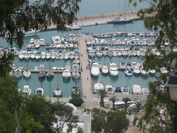
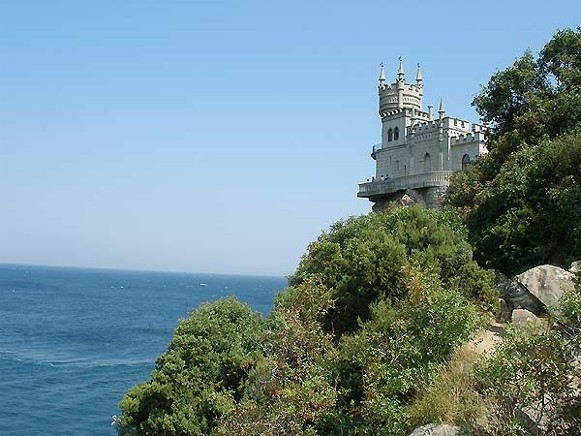
The shore lacks large bays suitable for harbors. Its appearance is influenced by the composition of the mountain rock strata: for example, the low-resistance schist is much more susceptible to abrasive activity than limestone or volcanic deposits, which usually form promontories such as Cape Fiolent, Aiu-Dag, and Kara-Dag. There are numerous cliffs and caves above and below water. Because of its incline, the shore is easily washed away by the sea, and wide beaches cannot develop. The beaches are no wider than 50 m and are often rocky.
The temperatures on the shore are, on the average, 3°C higher than on the northern slopes of the mountains. Summers are hot: for four months the temperature exceeds 20°C and it reaches 24.5°C in July. No rain falls in the summer, but the heat is reduced by on-shore breezes. Autumns are long, warm, and dry. Winters are moderate: the average January temperature is 4°C. Cold north winds, which can reduce the temperature to -15°C, are infrequent. The average annual temperature is 13°C. The annual rainfall is 400–550 mm, most of it coming in winter. This part of the Crimea gets 2,000–2,500 hours of sunlight per year (50–58 percent of possible sun hours; Yalta gets 76 percent). The swimming season lasts from May to October, the best months being August and September. This description applies to the western part of the shore. The shore east of Alushta is less adequately protected from the north winds and has a more continental climate.
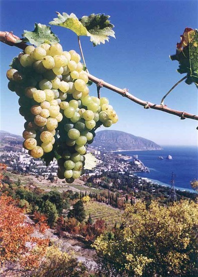
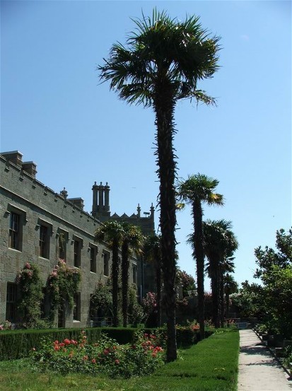
A great variety of plants (about 1,500 species) are found on the shore. They are closely related to Mediterranean species. Among them are the pubescent oak (Quercus pubescens), juniper, wild pistachio (Pistacia mutica), the evergreen strawberry tree (Arbutus andrachne), sumac (Rhus ponticus), rockrose (Cistus tauricus), and Ivy. Decorative trees are very prominent: cypress, cedar, evergreen oak, eucalyptus, certain species of palm, laurel, myrtle, and magnolia. Orchards (apple, pear, cherry, almond, apricot, peach, olive), vineyards, and plantations of tobacco and essential-oil crops (especially roses) are important economically. The flora of the eastern part of the shore is closer to steppe flora and is less varied. The oak-pine belt and the beech belt lie above the evergreen belt. The fauna of the shore also differs from the fauna of the rest of Ukraine (see Crimean Mountains).
The southern shore has been famous since 1870 for its resorts and sanatoriums for respiratory ailments. The population growth on the western part of the coast is shown in the table.
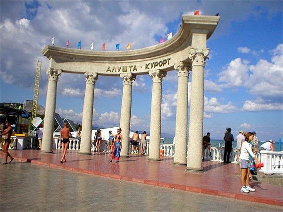
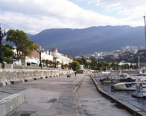
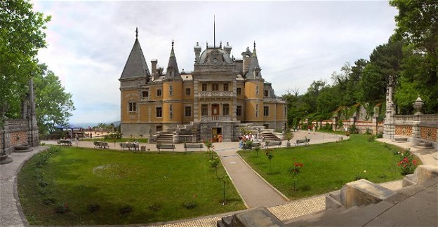
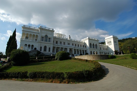
Visitors greatly outnumber residents: at the beginning of the 1880s about 8,000 people visited Yalta each year; in 1910, 50,000 came to Yalta; and today over 500,000 visit the shore. Yalta is the main resort area. Other important areas, from west to east (showing 1 January 2014 population), are mostly the towns of Foros (2,000), Simeiz (4,000), Alupka (city, 8,500), Koreiz (6,300) and its coastal district of Miskhor, Haspra (11,400), Livadiia (1,600), Masandra (8,600) Nikita (2,500), Hurzuf (9,200), Partenit (6,100) and the city of Alushta (28,300). All are located within a 60 km strip and tend to merge. Except for Alushta and Partenit, which are farther east and form Greater Alushta city council, the former come under the jurisdiction of the Yalta city council and thus (from Foros to Hurzuf) constitute Greater Yalta. A paved highway runs along the coast, and there is a regular bus service. Two main highways run north through the mountains: one from Foros to Sevastopol, and the other from Alushta to Simferopol. The eastern part of the coast (about 25 percent by coastal area and 14 percent by population) is less important. Its 1 January 2014 population was 30,600 (about 20,000 in 1970). Its main resort, with a highway through the Crimean Mountains, is Sudak (15,500 in 2014; about 9,800 in 1970).
Volodymyr Kubijovyč, Ihor Stebelsky
[This article was updated in 2024.]
.jpg)

.jpg)
.jpg)
.jpg)
.jpg)
