Chyvchyn Mountains
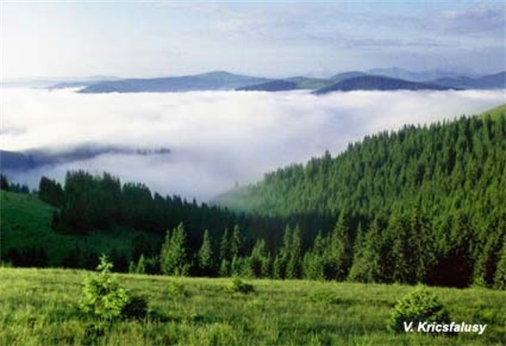
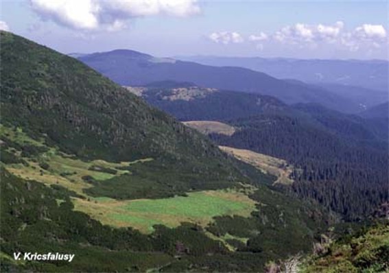
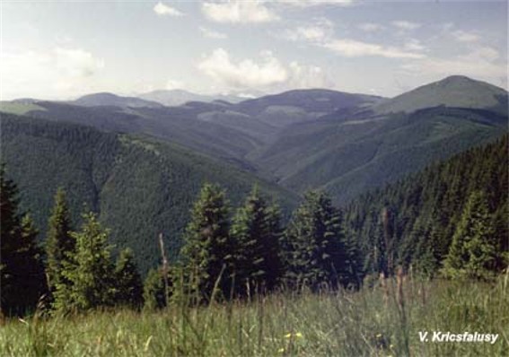
Chyvchyn Mountains. Range in the southeastern part of the Ukrainian Carpathian Mountains, the central part of the Maramureş-Bukovynian Upland. The range stretches for about 50 km from the northwest (Stih, 1,677 m) to the southeast (Hnitiasa Peak, 1,769 m), between the valley of the Chornyi Cheremosh River in the northeast and the valley of the Vişeu River in the southwest, and forms the boundary between Ukraine and Romania. The mountains consist of crystalline schists and sandstones. The range is gently contoured and massive. Its highest peak is the basalt Kopula Chyvchyna (1,769 m). Small limestone cliffs are sometimes evident on the slopes. The mountains are uninhabited and covered with coniferous trees and meadows.


