Beskyds
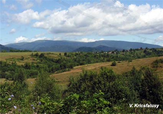
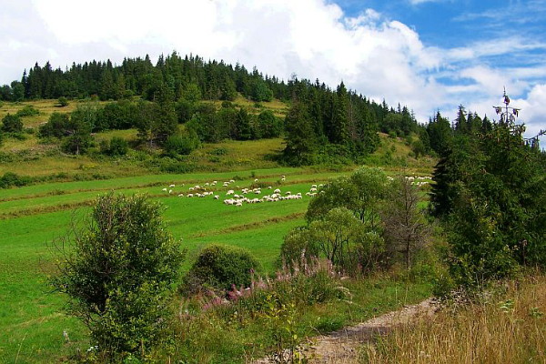
Beskyds [Бескиди; Beskydy; Polish: Beskidy]. (Map: Carpathian Mountains, Division.) The name of the outer flysch belt of the Carpathian Mountains, built of chalk and Paleogene sandstones, shale, and limestones. The Beskyds in Ukrainian ethnic territories are divided into the Western Beskyd, reaching to the Biała River and Toplia River in the east; the Low Beskyd, to the Oslava River and Laborets River; the Middle Beskyd, to the Boryslav–Turka–Sianky Pass–Uzh River (Transcarpathia) line; the High Beskyd, to the Mizunka River; and the Gorgany Mountains, to the Prut River and the Hutsul Beskyd. The High Beskyd and the Gorgany Mountains are separated from the Polonynian Beskyd by the Middle Carpathian Depression.
[This article originally appeared in the Encyclopedia of Ukraine, vol. 1 (1984).]
.jpg)
.jpg)
.jpg)

.jpg)
.jpg)

