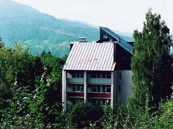
Rakhiv
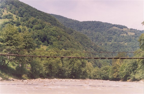
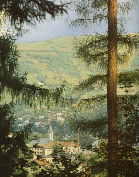
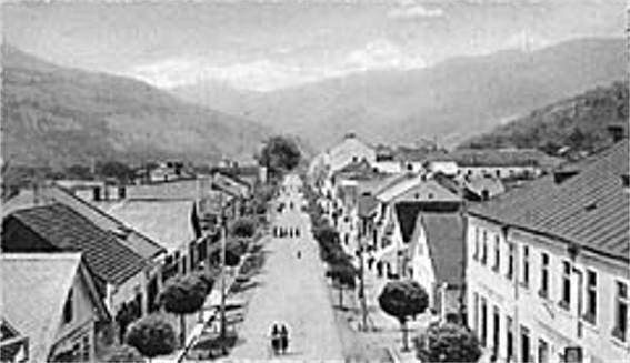
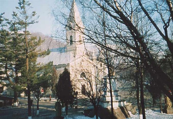
Rakhiv [Raxiv]. Map: V-5. A city (2001 pop 15,241) in the Tysa River valley in the Hutsul Alps and a raion center in Transcarpathia oblast. It was first mentioned in historical documents in 1447. Lying on the trade route between Galicia and Transylvania, Moldavia, and Hungary, the town was a major livestock trading center in the 17th and 18th centuries. In 1920 Rakhiv was transferred from Hungary to Czechoslovakia, and in 1945 it was annexed to the Ukrainian Soviet Socialist Republic. It acquired city status in 1958. Most of its inhabitants work in industry, producing forest products, cardboard, and vegetable oil.
